Map Collections at UCD and on the Web: Books and Gazetteers
Find, access and purchase maps at UCD Library. Lists of map resources and suppliers on the web. Examples of map symbols and scales. Copyright and booking forms.
Books
-
A New Genealogical Atlas of Ireland by
ISBN: 0806316845Publication Date: 2002Each county is depicted with maps which show: the civil/Church of Ireland parishes; the baronies and Church of Ireland dioceses; the poor law unions and the parishes included within the probate districts serving that county; the Roman Catholic parishes and dioceses; the Presbyterian congregations for the nine counties of Northern Ireland. -
 The history of the survey of Ireland : commonly called The Down Survey, 1655-56
by
Publication Date: 1851Edited by Thomas Larcom from a manuscript held in Trinity College Dublin and published for the Irish Archaeological Society
 -
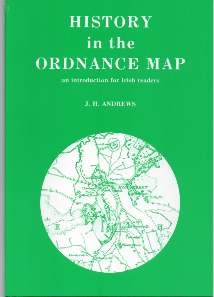
 History in the Ordnance Map : an Introduction for Irish Readers
by
Publication Date: 1993 (2nd edition)A guide to Irish Ordnance Survey maps with an introductory essay followed by a description of each series and an index diagram of sheet layout, or an example section of the series. Of particular use are the details of town plans issued and dates. It is a useful and straightforward guide to the range of OS pre-1922 map series.
 -
 The printed maps of Ireland 1612-1850
by
Publication Date: 1997
 -
A Paper Landscape by
ISBN: 1851826645Publication Date: 2002In 1824, the Ordnance Survey was directed to map Ireland (as a prelude to a nationwide valuation of land and buildings) as quickly as possible on the large scale of six inches to the mile. The six-inch maps of Ireland appeared between 1835 and 1846. In the 1850s the production of both smaller and larger scale maps of Ireland was placed on a regular footing. Meanwhile a new and separate chain of events had begun in 1887 with the authorization of cadastral maps of Ireland on the scale of 25 inches to the mile. -
 Plantation Acres : an Historical Study of the Irish Land Surveyor and his Maps
by
Publication Date: 1985The content of this book is described in this review article https://doi.org/10.1484/J.Peri.3.198
 -
The Irish Ordnance Survey : History, Culture and Memory by
ISBN: 1851828613Publication Date: 2004This is a cultural and intellectual history of the Ordnance Survey, which mapped Ireland from 1824 to 1846. Captain Thomas Larcom of the Survey intended to produce and encyclopaedia-like series of county memoirs to accompany the maps, a great survey that would explain Ireland literally, as the maps would represent it graphically. Though unpublished an immense amount of research was undertaken for the whole country. These memoir reports by Ordnance engineers, scholars and local civic assistants constitute a remarkable archive on culture, folklore, religious practices, oral histories and social structures, before much was swept away by the Famine, modernisation and anglicisation. -
Historical Maps of Ireland by
ISBN: 0785811095Publication Date: 1999An introduction contains a brief history of Ireland, and then a selection of maps from the 1500s to the 1800s. There are maps of the entire country, of individual counties and of individual cities and towns. Each map is accompanied by text describing both the subject of the map, and the mapmaker. -
 Ireland from Maps : facsimile documents
by
Publication Date: 19801. Ptolemy's map of Ireland, 150 A.D. -- 2. Colour map of Europe, 1200 A.D., from Giraldus Cambrensis "Topography of Ireland" -- 3. Martin Waldseemüller: a seachart of Ireland, Strasbourg, 1513 -- 4. Gerald Mercator: map of Ireland, Duisburg, 1564 -- 5. The castle of Carrigfoile in Kerry -- 6. John Speed: plans of Limerick, Cork, Dublin, Galway, and Enniskillen Castle, London, 1611 [5 maps] -- 7. Down survey map of "Donnabrooke and Tanee," Co. Dublin, 1655-57 [by William Farrand] -- 8. William Petty: "A general mapp of Ireland," London, 1685 -- 9. Josias Bateman: colour chart of symbols used on estate maps, 1716 [not a map] -- 10. John Roe: colour map of the Manor of Lyons, the estate of Lord Cloncurry, 1801 -- 11. Richard Manning: colour estate map of Currabee, Dreenagh, Co. Cork, 1801-03 -- 12. Extracts from Ordnance Survey maps, 1837-1906 [3 maps and 1 legend] -- 13. Henry D. Harness: map of Ireland showing quantities of traffic, 1847 -- 14. Colour map of Ireland showing various public works, Dec. 1847 -- 15. Map of Ireland showing railways, 1906 -- 16. Thurloe Connolly: colour map of Europe showing Irish cultural influence from the sixth to the twelfth century, 1954.
 -
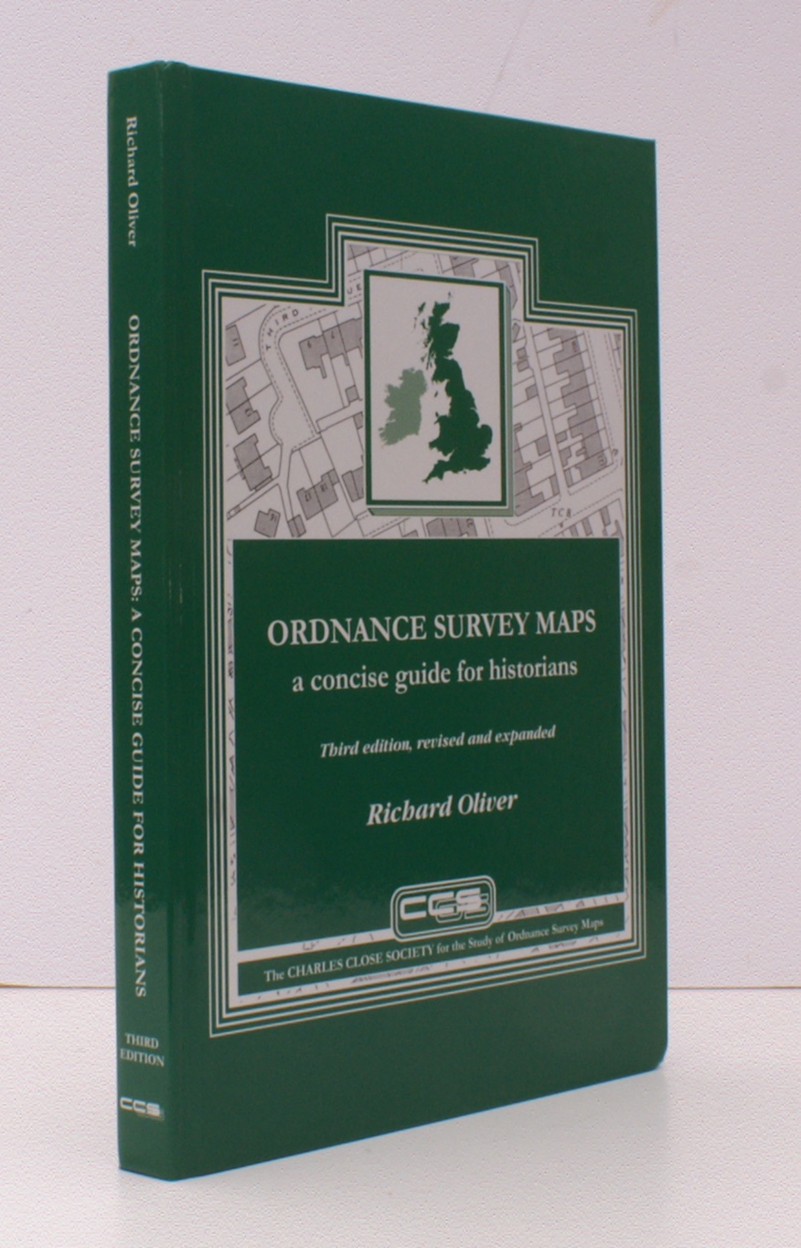
 Ordnance Survey maps: a concise guide for historians
by
ISBN: 9781870598316Publication Date: 3rd edition ; 2013Bringing together various lists, most hitherto unpublished, of large-scale mapping in the United Kingdom, this text provides map users, map curators and others with a description of each Ordnance Survey map scale as a source of information for the study of the landscape.
 -
 Surveying Irelands Past: Multidisciplinary Essays
by
ISBN: 0906602424Publication Date: 2004Includes chapter by J.H. Andrews "Classifying Early Irish Town Plans".
 -
 Irish Towns : a Guide to Sources
by
ISBN: 0906602262Publication Date: 1998Consists of ten chapters by specialist authors on the cartographic, documentary, material and literary sources available for the study of Irish towns and their inhabitants through the centuries. Each chapter is amply illustrated with both line-drawings and photographs and also has a detailed bibliography. The book is enhanced by the inclusion of an extensive list of publications arranged by theme and town, respectively, as an appendix.
 -
 Historians' Guide to Early British Maps
by
ISBN: 0861931416Publication Date: 1994This guide to pre-1900 maps relating to Great Britain and Ireland records for the first time the rich cartographic heritage of these islands. Part Two of the book comprises a comprehensive survey of nearly 450 repositories, from the national libraries to the county record offices, and includes some of the private collections. There is a full record, for example, of the rich holdings of the Oxford and Cambridge colleges. Details are given on each institution's holdings, access, availability of originals, reproductions, indices.
 -
 Maps and Map-Making in Local History
by
ISBN: 1851828702Publication Date: 2004This book introduces the local history practitioner to the world of maps - the special character (and appeal) of maps as an historical source, why they are invaluable in local history research, and questions that must be asked of them. The historical background to map creation in Ireland is outlined, with details on the major classes of cartographic and associated material and the repositories wherein they may be found. The Plantation series, travel and county maps, maps as part of published reports and journals, military mapping, estate and property mapping, and maritime maps, historic Ordnance Survey and Valuation Office maps, and more recent OS mapping, including the 1:50,000 Discovery series, are discussed.
 -
Reading the Maps by
ISBN: 9781904890706Publication Date: 2011Reading the Maps is a valuable companion book to the Irish Historic Towns Atlas series by Royal Irish Academy. Samples from the first 22 atlases are used to illustrate comparative, thematic, and specific studies of Irish urban history. Various town-types, from monastic to modern, show the numerous origins of urban culture, portraying the similarities and differences across the island of Ireland. The book is heavily illustrated with maps and views taken from the Irish Historic Towns Atlas series, along with sets of questions and observations that can be drawn from the detailed information.
Andrews, J. H. (1967) ‘The French school of Irish land surveyors’. Irish Geography, 5 (4):275-293 provides a list and discusses the maps made by John Rocque in the 18th century. These include plans of Dublin, Kilkenny, Cork, Thurles and Newry.
Directories and Gazetteers
-
Irish Historic DirectoriesThis website created by John Grenham gives a description and overview of the range of directories available with links to many of these
-
Directory of Irish industrial estatesKompass Ireland Publishers, 1995. A mapped guide to 230 industrial estates across Ireland.
-
A directory to the market towns, villages, gentlemen's seats, and other noted places in IrelandBy Ambrose Leet, 1814. With reference to the counties, in which they are situated, the post-town to which each is attached, their description, or if a seat, the name of the resident; to which is added a general index of persons names, referring to the page where their address is to be found, together with lists of the post towns and present rates of postage throughout the empire.
-
Dublin Street Names : Dated and ExplainedBy Christopher Teeling M 'Cready. 1892
-
General alphabetical index to townlands and towns, parishes and baronies of IrelandBased on the Census of Ireland 1851. Printed by Alexander Thom in 1861.
-
Ireland (part I) : Northern counties, including Dublin and neighbourhoodPublished 1890. By M.J.B. Baddeley with eighteen maps and plans by J. Bartholomew. "The district described in this volume comprises all that lies north of a line drawn across the country from Bray and Dublin through Mullingar to Sligo, including those places."
-
Limerick City Street Namesby Gerry Joyce. Published by Limerick Corporation. 1995
-
Municipal corporation boundaries (Ireland). Reports and plans.Thomas Larcom. Volume containing plans / maps of Irish towns, derived from the Ordnance Survey, together with reports on their boundaries. Published 1837 by The House of Commons, London.
-
The picture of DublinPrinted by William Gregory. 1816.
Being a description of the City, and a correct guide to all the public establishments, curiosities, amusements, exhibitions, and remarkable objects, in and near the City of Dublin. -
The post-chaise companion: or, travellers directory through IrelandPrinted for William Wilson. 1786.
Containing a new and accurate description of the direct and principal cross roads, with particulars of the noblemen and gentlemen's seats, cities, towns ... forming an historical & descriptive account of the kingdom. : To which is added, A dictionary, or Alphabetical tables. Shewing the distance of all the principal cities, boroughs, market and sea port towns, in Ireland from each other -
Slater's Commercial Directory of Ireland 1846A short description of each town is given, together with the trades / businesses / industries listed alphabetically.
-
Thom's DirectoriesA selection of the Thom's Directories from the late 19th and early-to-mid 20th centuries available to search via the Ask About Ireland website.
-
Topographia Hibernicaby Seward, William Wenman, 1795.
The topography of Ireland, antient and modern ; giving a complete view of the civil and ecclesiastical state of that kingdom, with its antiquities, natural curiosities, trade, manufactures, extent and population : its counties, baronies, cities, boroughs, parliamentary representation, and patronage, antient districts and their original proprietors : post, market, and fair towns : bishopricks, ecclesiastical benefices, abbies, monasteries, castles, ruins, private-seats, and remarkable buildings : mountains, riviers, lakes, mineral-springs, bays, and harbours, with the latitude and longitude of the principal places and their distances from the metropolis, and from each other : historical anecdotes, and remarkable events : the whole alphabetically arranged and carefully collected, with an appendix, containing some additional places and remarks, and several useful tables -
Topographical Dictionary of IrelandBy Samuel Lewis.1837.
Comprising the several counties, cities, boroughs, corporate, market, and post towns, parishes, and villages, with historical and statistical descriptions, embellished with engravings of the arms of the cities, bishopricks, corporate towns, and boroughs ; and of the seals of the several municipal corporations.

This work is licensed under a Creative Commons Attribution-NonCommercial-ShareAlike 4.0 International License
